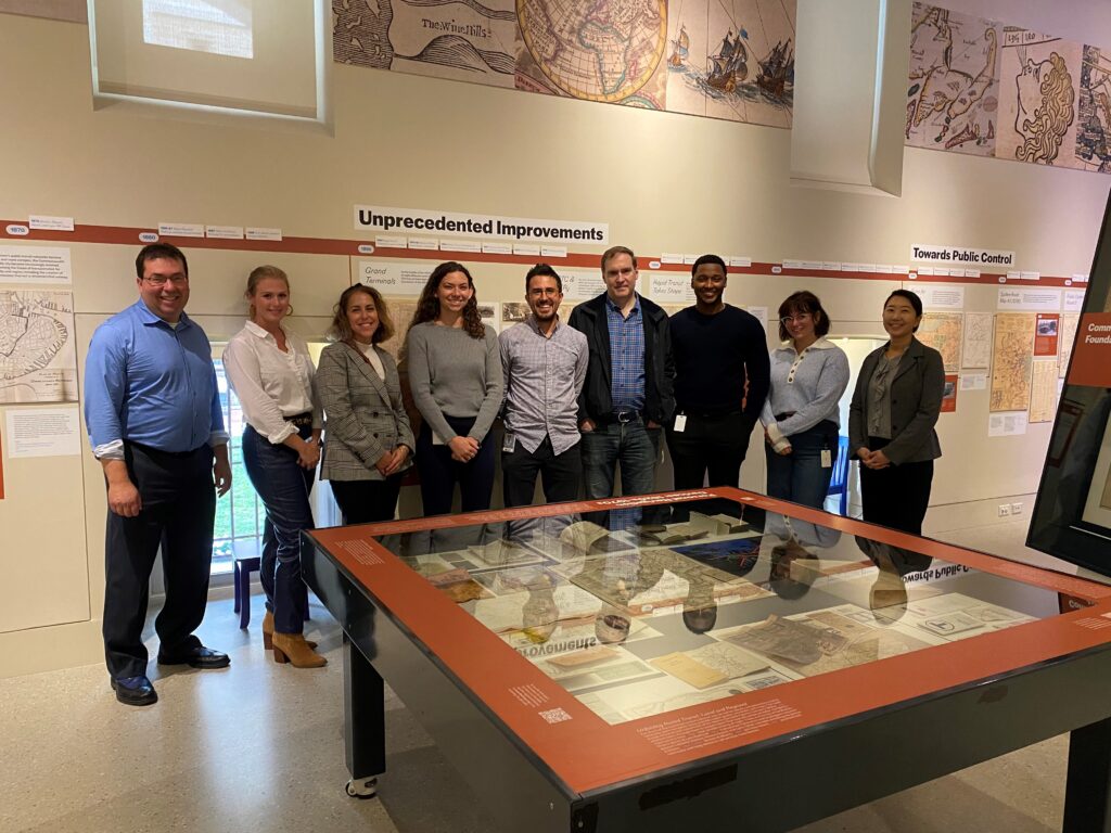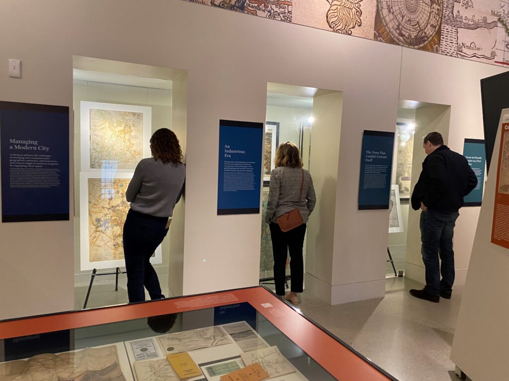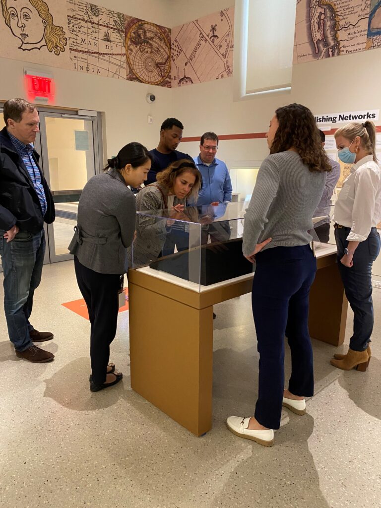
Dain Torpy took a tour of the recently opened exhibit at the Norman B. Leventhal Map Center within the Boston Public Library, titled “Navigating the City: Four Hundred Years of Boston’s Transit Mapping.” The experience allowed us to delve into our city’s past to help contribute to a more resilient future.
https://www.bpl.org/news/lmec-getting-around-town/